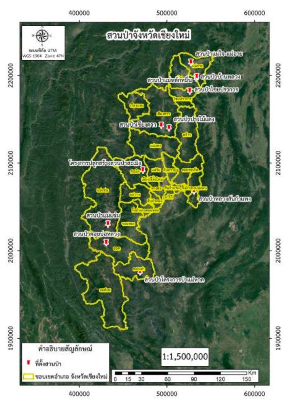
The forest parks in Chiang Mai province are located within the area of Chiang Mai Forest Industry Organization. There are a total of 11 forest parks :
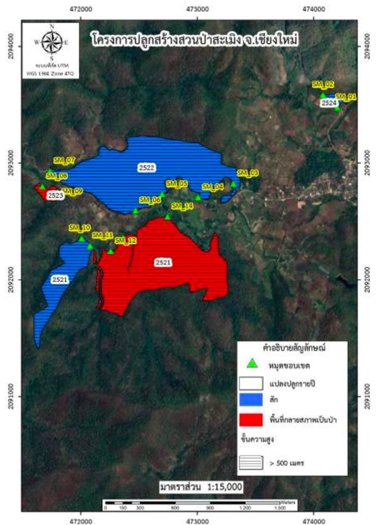
1. Sameing Forest Park Project, Sameing Nuea Subdistrict, Sameing District, Chiang Mai :
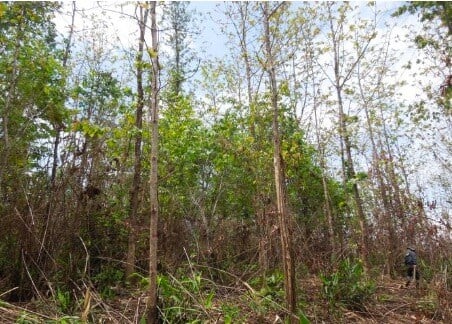
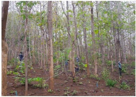
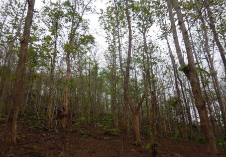
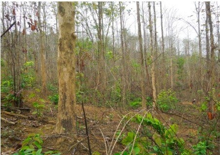
Located in Moo 5, Sameing District, Chiang Mai Province, covering an area of 842.37 rai. The characteristics of vegetation is predominantly teak forest, moreover, the terrain is a combination of plains and hills.
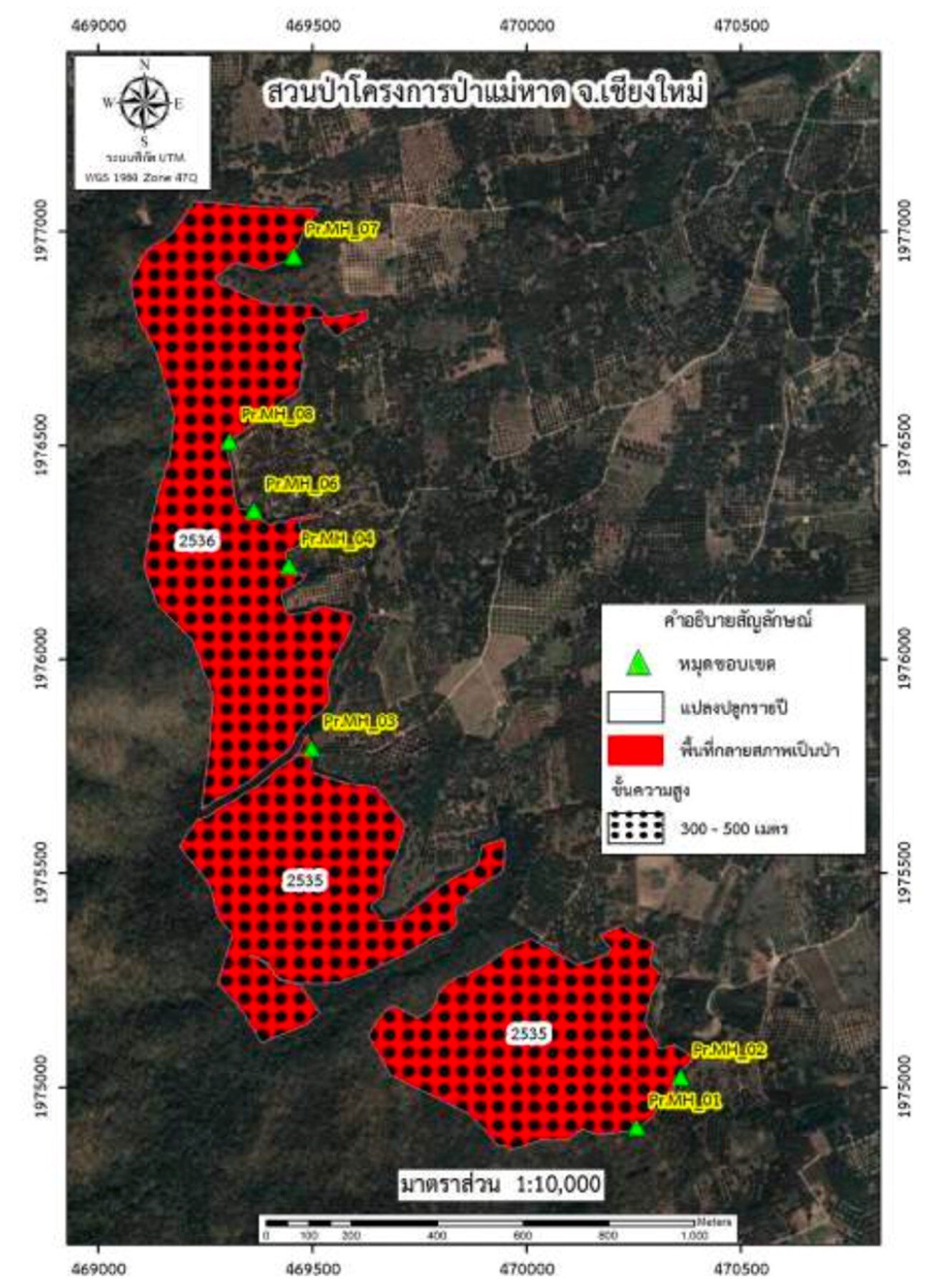
2. Mae Had Forest Park Project, Doi Tao Subdistrict, Doi Tao District, Chiang Mai :
Covering a total area of 537.26 rai, the topography of Doi Tao district is generally characterized by low mountains and high hills, with valleys and streams. Doi Tao district is located in the Mae Had river basin, a left tributary of the Ping River. Several smaller tributaries originate from this area are located upstream of the Bhumibol Dam. Deforestation in the upper water source has led to water shortages during the dry season and floods during the rainy season.
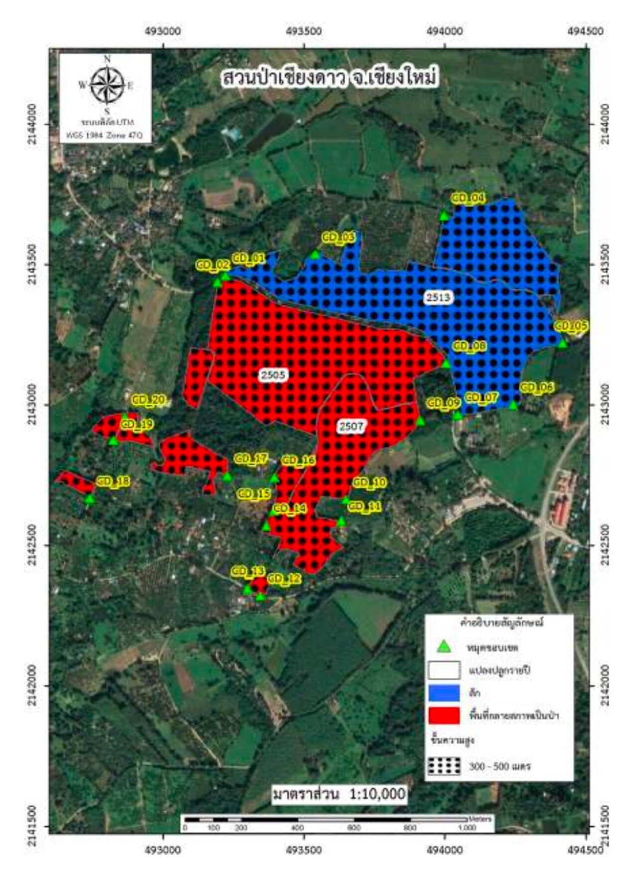
3. Chiang Dao Forest Park, Chiang Dao Subdistrict, Chiang Dao District, Chiang Mai :
Located within the Chiang Dao National Forest Reserve, covering a total area of 530.95 rai. The terrain is flat and is 470 meters above sea level. The forest in the area is primarily mixed deciduous forest. Several important natural waterways flow through the area, originating from the mountains in Chiang Dao district. These waterways are used for domestic purposes and agriculture.
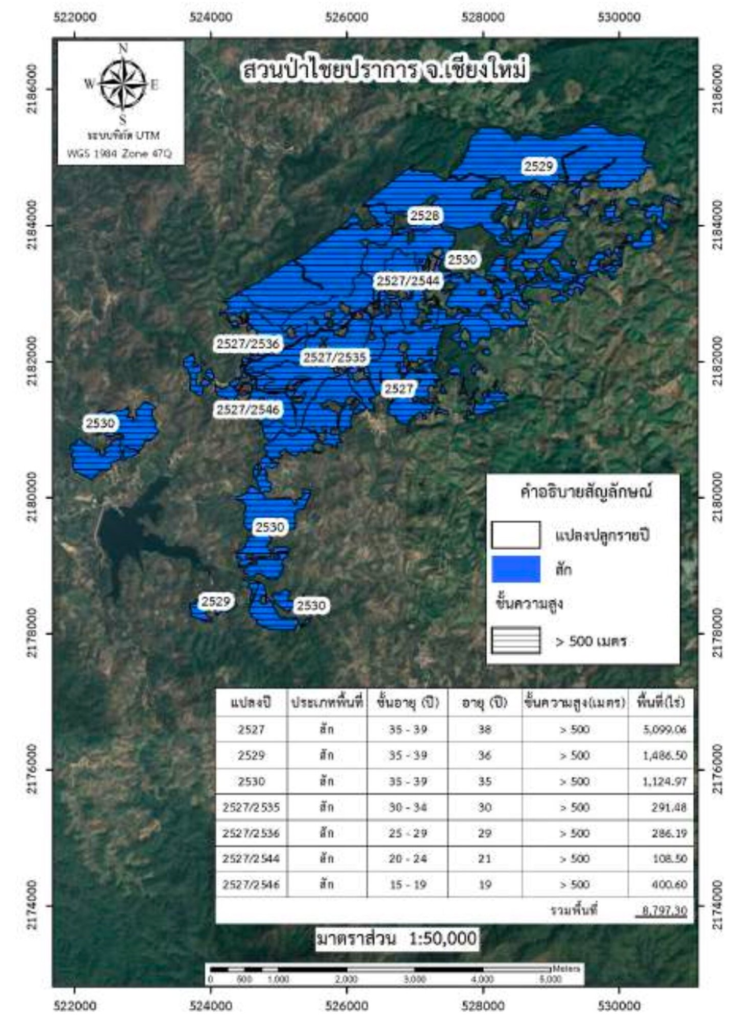
4. Chai Prakan Forest Park, Mae Thalop Subdistrict, Chai Prakan District, Chiang Mai :
Located within the Fang River National Forest Reserve, 780 meters above sea level, covering a total area of 8,797.3 rai. The vegetation is predominantly teak forest, and the terrain is characterized by steep mountains with flat areas along valleys and between mountains. Natural waterways flow through the area and are being used for domestic purposes and agriculture.
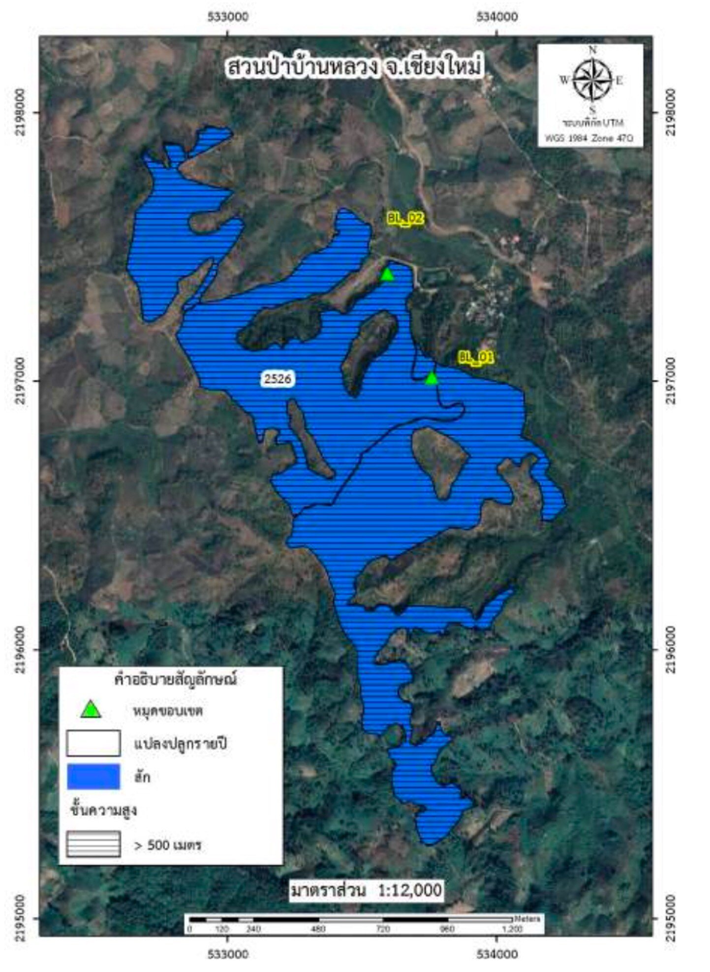
5. Ban Luang Forest Park, Ban Luang Subdistrict, Mae Ai District, Chiang Mai :
Located within the Fang River National Forest Reserve, covering a total area of 698.37 rai, 620 meters above sea level. The vegetation is predominantly teak forest, and the terrain is a combination of mountains and plains. Moreover, the Mae Nawang River, an important natural waterway, flows through the area and is used for agriculture year round which allows 2 rice harvests annually.
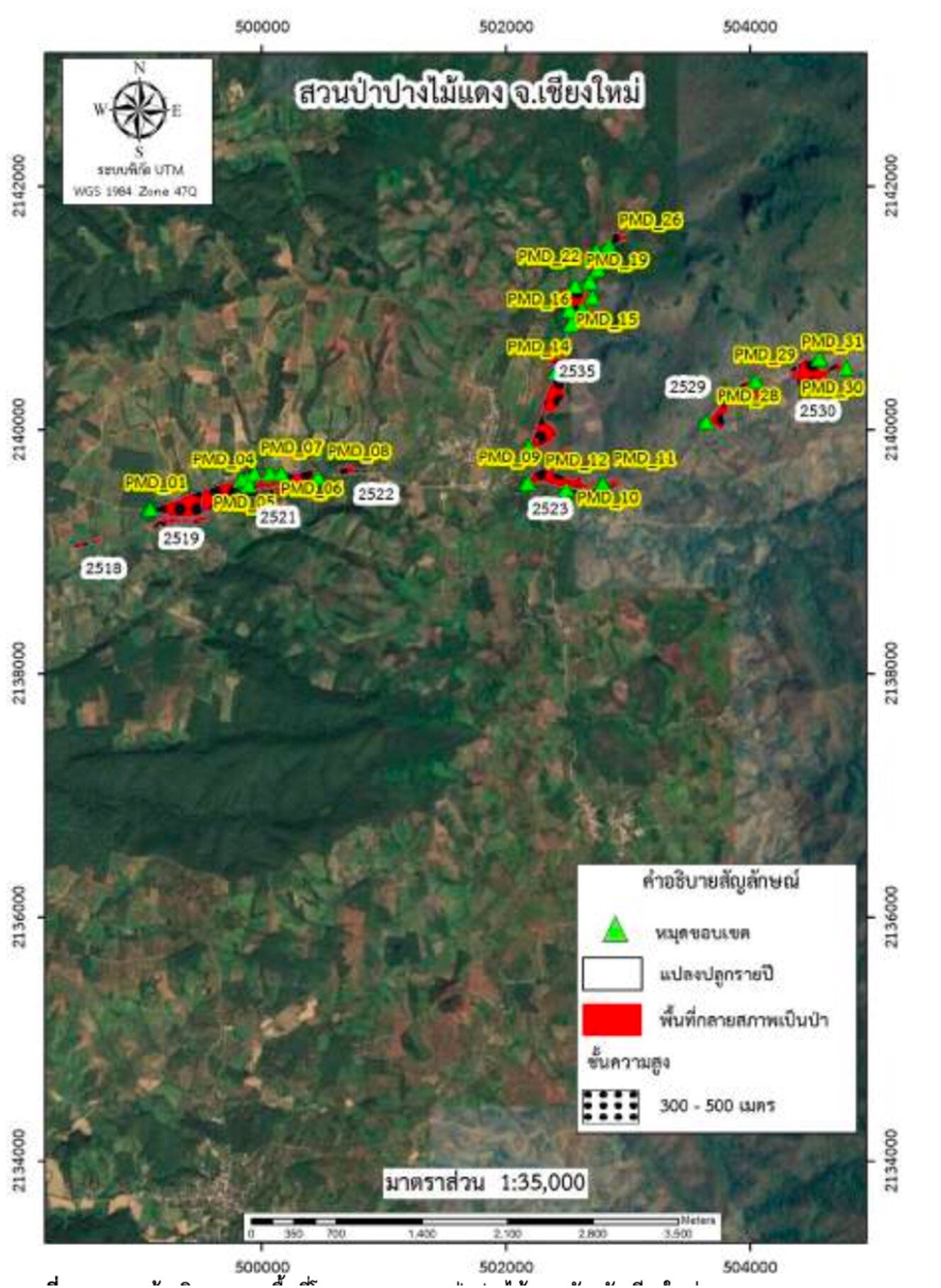
6. Pang Mai Daeng Forest Park, Chiang Dao District, Chiang Mai Province :
Covering a total area of 362.75 rai, the terrain consists of high plateaus and foothills. The main water sources are Mae Ka River, Mae Mad River, and Huay Na Lao Stream as the main stream in the area.
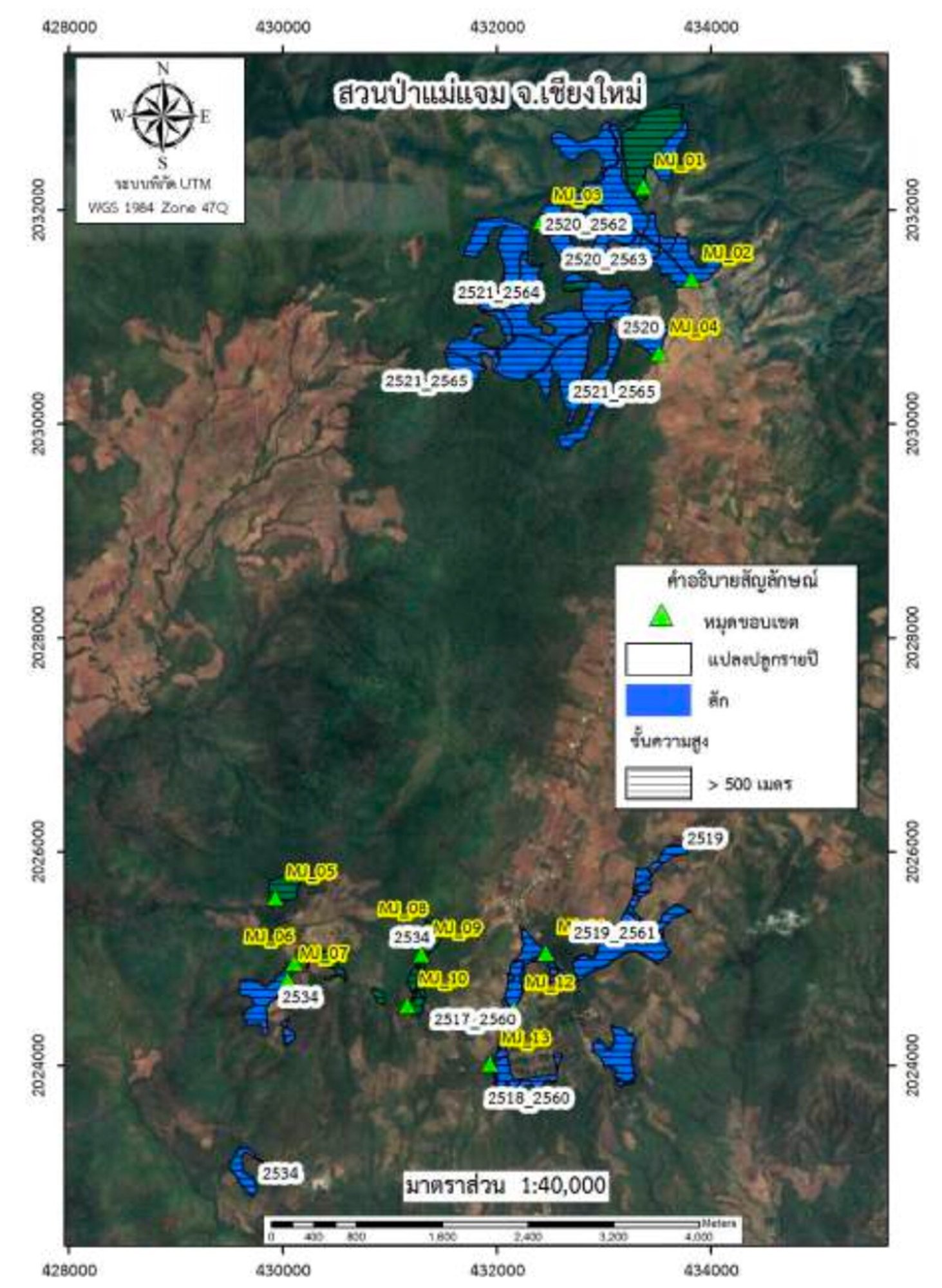
7. Mae Jaem Forest Park, Kong Kaek Subdistrict, Mae Jaem District, Chiang Mai Province :
Located within the Mae Jaem National Forest Reserve, covering a total area of 305.59 rai. The vegetation consists of teak plantations and a conservation area with mixed deciduous forest. The terrain is mostly mountainous and hilly and has Mae Jaem River as it's significant natural waterway which provides water throughout the year.
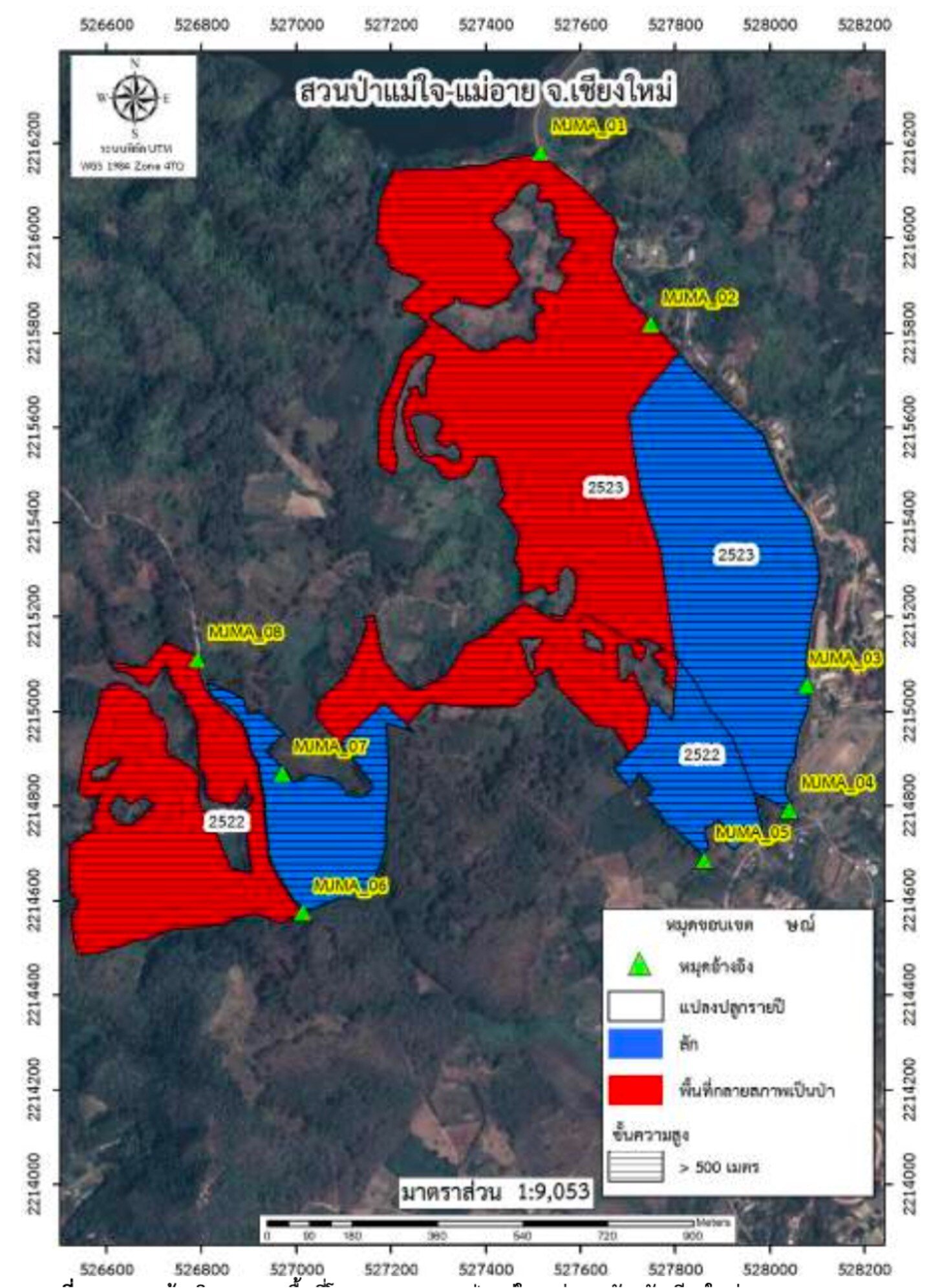
8. Mae Jai, Mae Ai Forest Park, Mae Sao Subdistrict, Mae Ai District, Chiang Mai Province :
Located within the Fang River National Forest Reserve, covering a total area of 620.05 rai. The vegetation is predominantly teak plantations. The terrain consists of high and low mountains and hills alternating with flat areas. The main water source is the Mae Laeng Luang Reservoir, which supplies raw water for drinking water production.
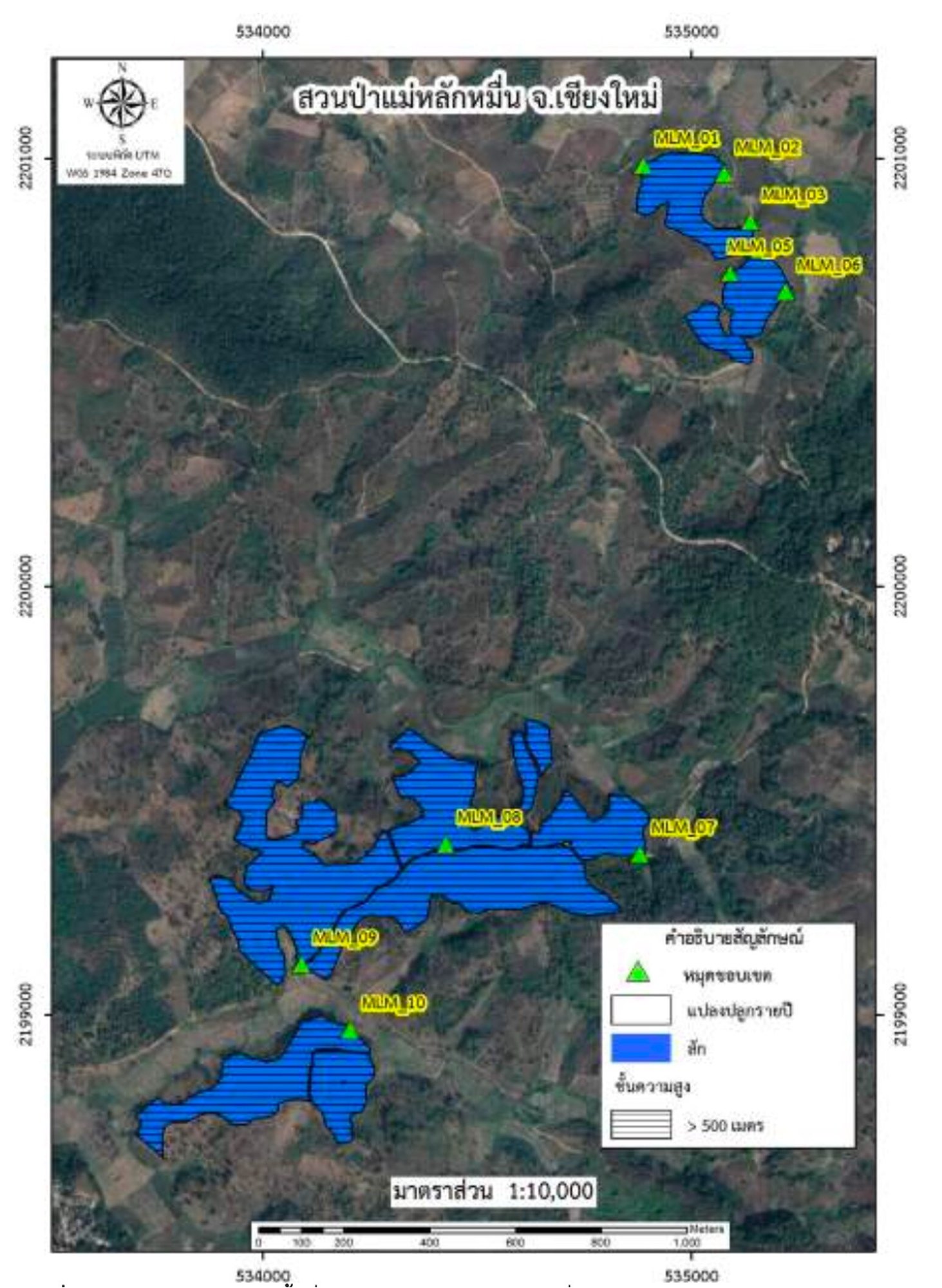
9. Mae Lak Mun Forest Park, Ban Luang Subdistrict, Mae Ai District, Chiang Mai Province :
Located within the Fang River National Forest Reserve, covering a total area of 254.94 rai.The area is located at an altitude of 500-600 meters above sea level and the vegetation is predominantly teak plantations. The terrain is a combination of mountains and flat areas, with Huay Mae Wang Noi as a significant natural waterway.
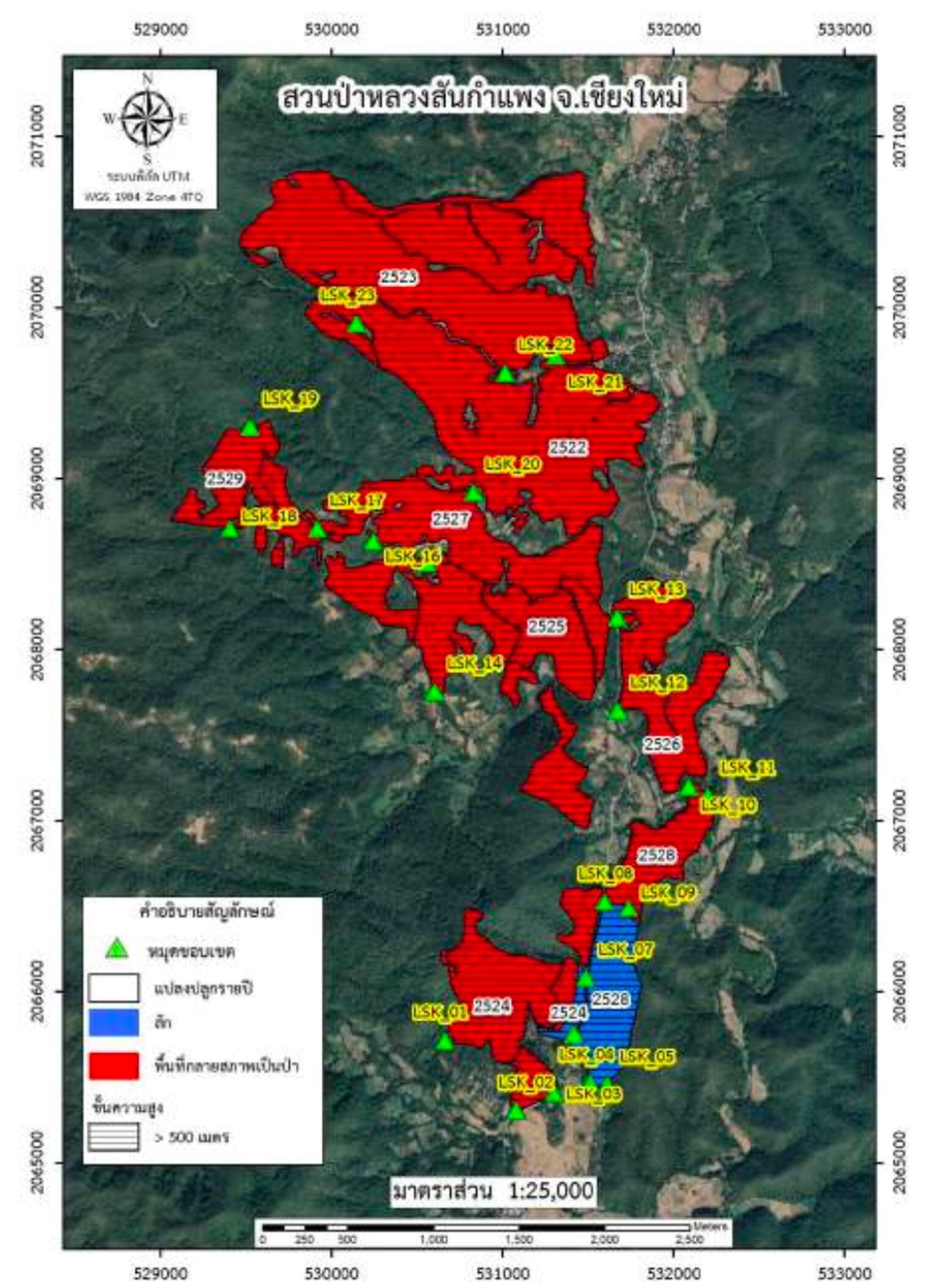
10. Luang San Kamphaeng Forest Park, Mae Ta Nuea Subdistrict, Mae On District, Chiang Mai Province :
Covering a total area of 3,511.72 rai, the terrain is a flat area between valleys at an altitude of 520 meters above sea level. The planted trees include teak, pine, and eucalyptus. and the main water source is Ta River which originates from the mountain peaks in Ban Khun Ta and there are 4 reservoirs in the area.
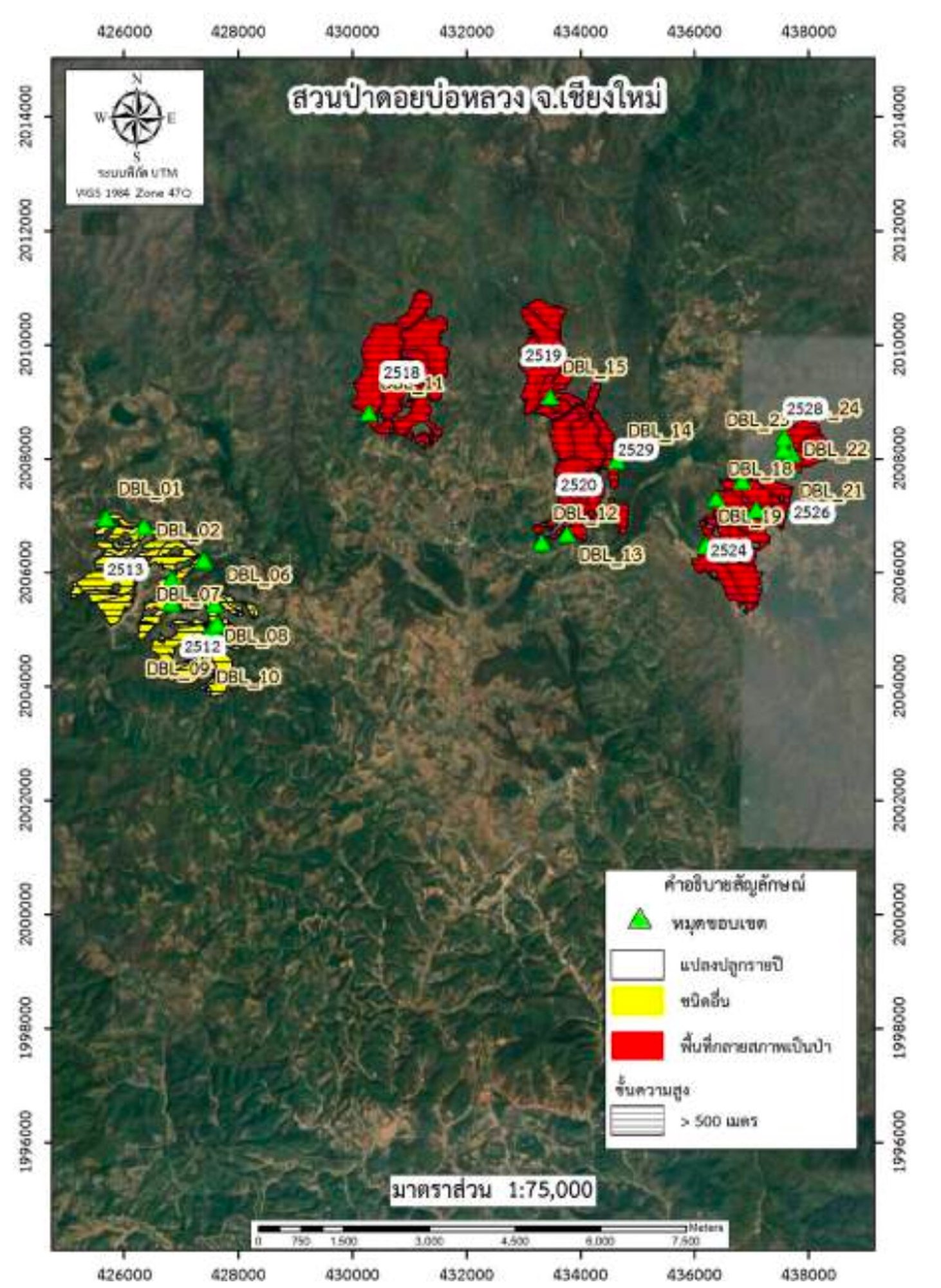
11. Doi Bo Luang Forest Park, Bo Luang Subdistrict, Hod District, Chiang Mai Province :
Located within the Khun Mae Lai National Forest Reserve, covering a total area of 7,423.19 rai with a pine forest as the main vegetation found in the area.
The project activities align with the eligible activities defined by the Thailand Greenhouse Gas Management Organization (Public Organization) in T-VER-S-METH-13-03. Proper management practices have been implemented, including creating wider firebreaks in steep areas, pruning to improve stem quality, thinning to reduce tree density, and patrolling to prevent and protect the forest from encroachment.
Remarks : No trees will be cut down within the project area for the entire 10-year duration of the project.
Explore More

Standard


Validation and
Verification Body
2,388,449 trees
Trees Approximately Planted in this Program
2,599,803
Carbon Sequestration (tCO2e)

Project Owner
04 Mar 2023 - 03 Mar 2033
Crediting Period
-
Vintage of Credits
