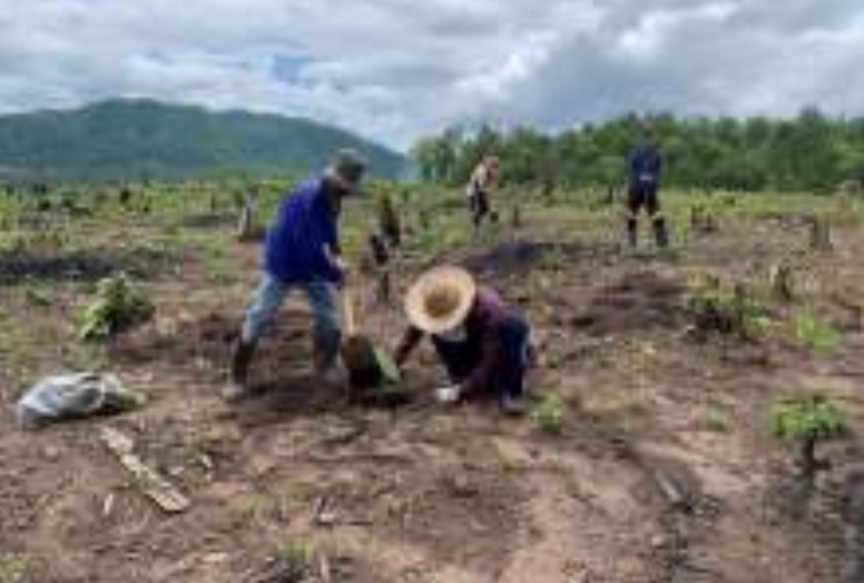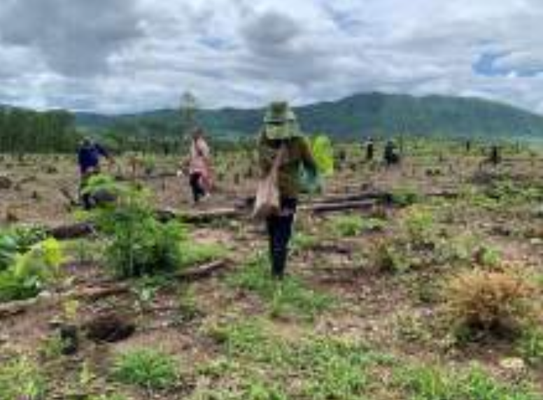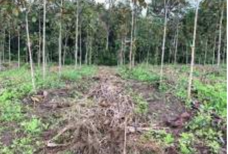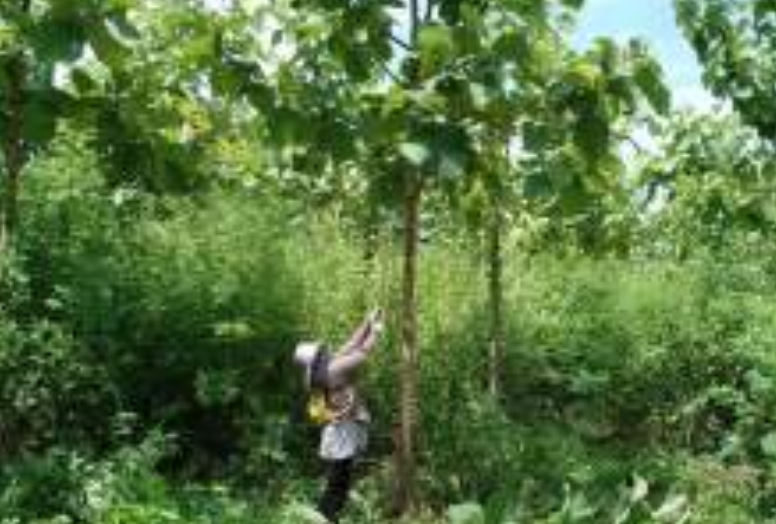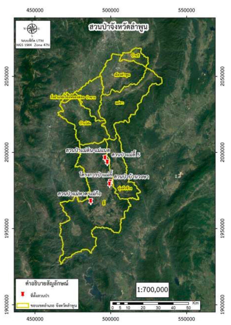
The forest parks in Lamphun province are situated within Chiang Mai Forest Industry Organization. There are a total of 5 forest parks :
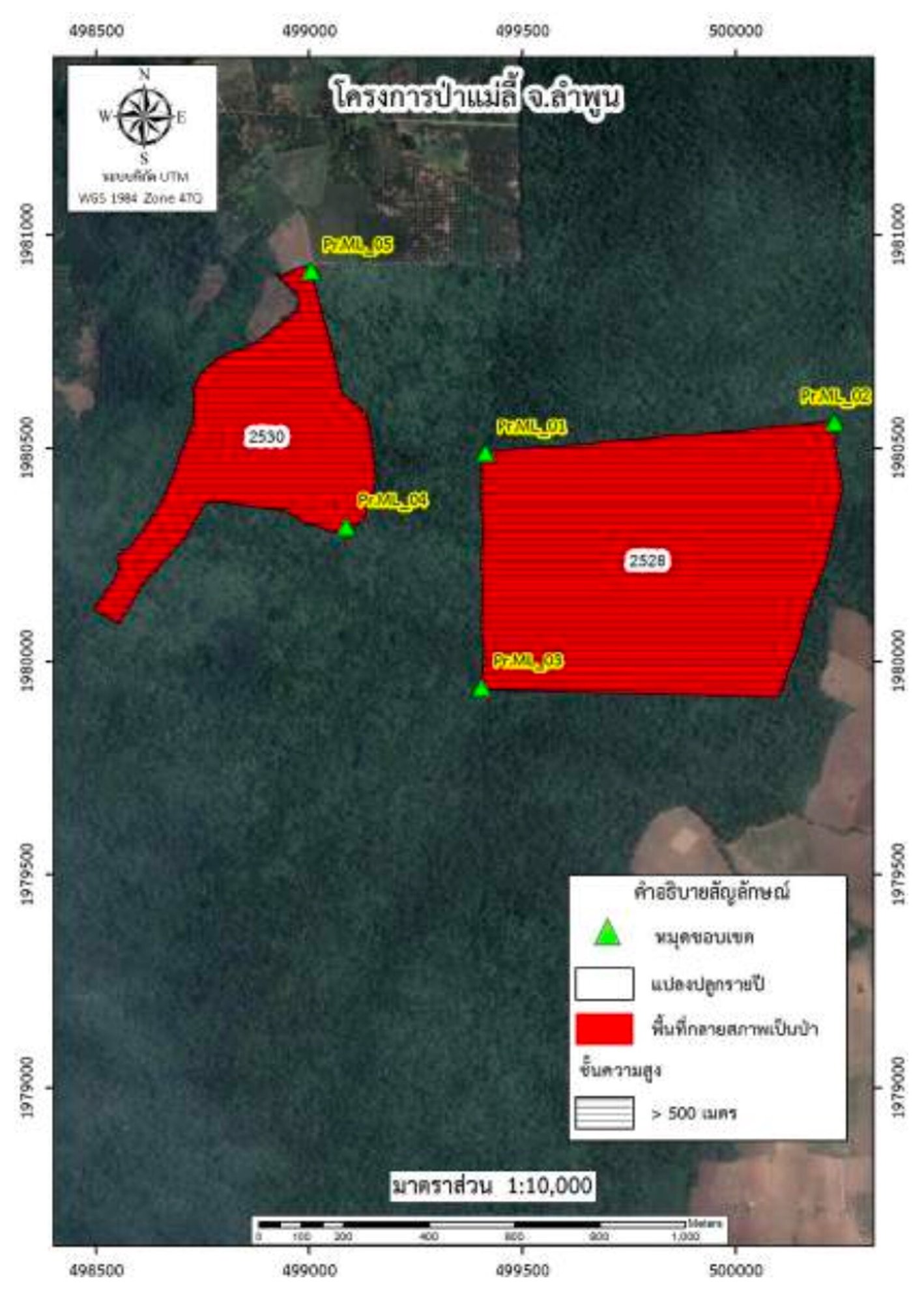
1. Mae Li Forest Project, Mae Tuin Subdistrict, Li District, Lamphun Province :
Located in the Mae Tuin-Mae Naet National Forest Reserve, covering a total area of 420.88 rai. The terrain is a mix of mountains, plains, and foothills. Li River flows through the area which provide a reliable water source for local people throughout the year. Groundwater is also pumped for agricultural purposes.
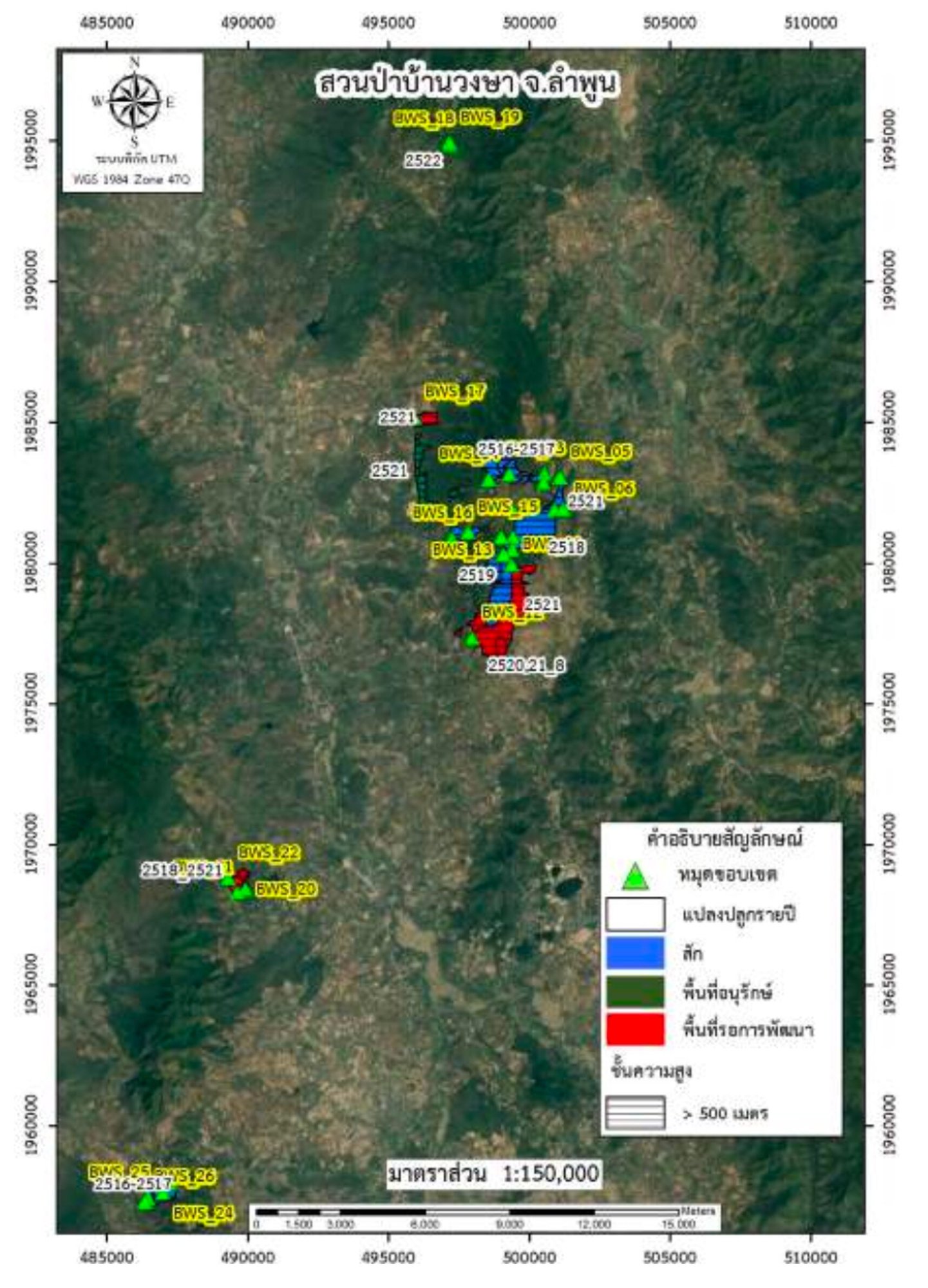
2. Ban Wongsa Forest Park, Mae Tuin Subdistrict, Li District, Lamphun Province :
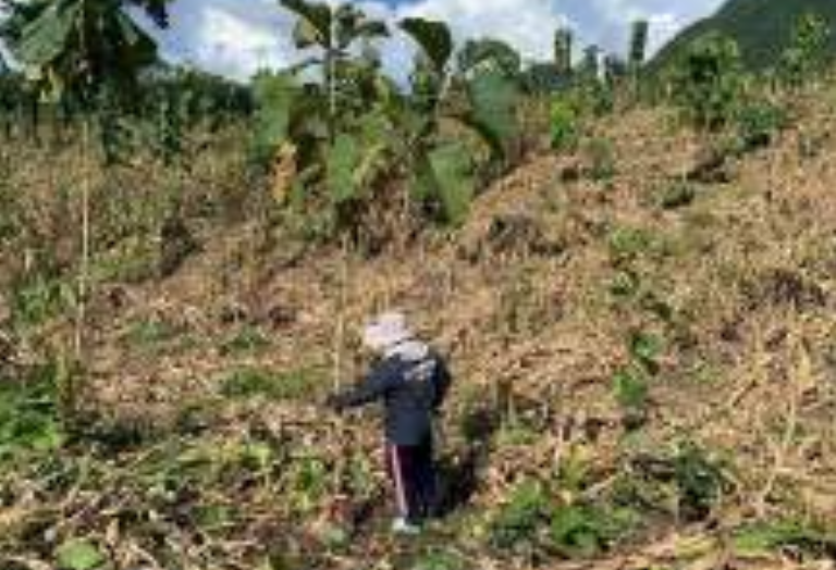
Located in the Mae Tuin-Mae Naet National Forest Reserve, covering a total area of 6,862.75 rai. The terrain is a mix of mountains, plains, and foothills, with an elevation of 520 meters above sea level. Vegetation found in the area includes teak forests, secondary forests, and conservation areas . Li River also flows through the park area, however, some areas have been encroached upon for agricultural purposes.
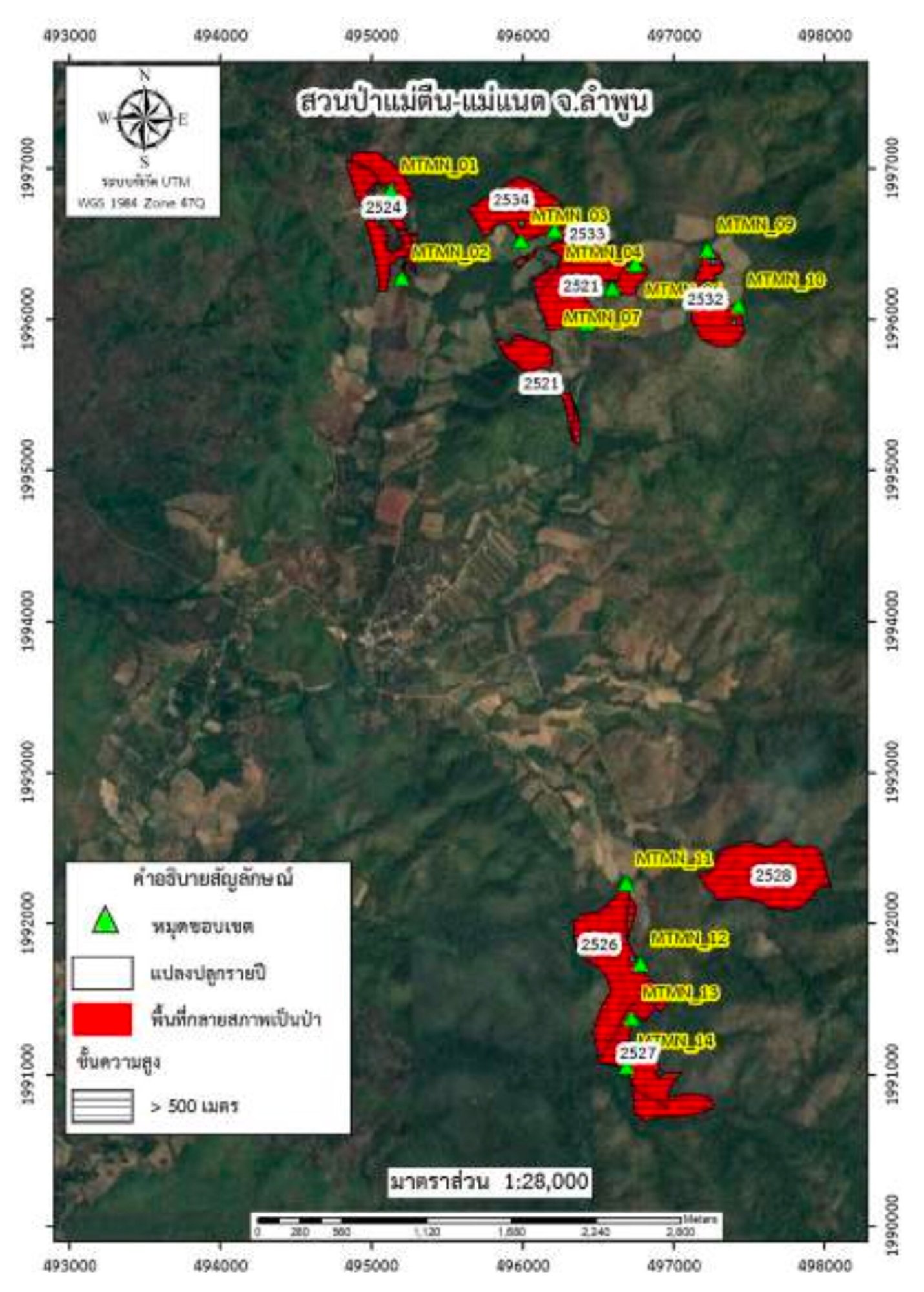
3. Mae Tuin-Mae Naet Forest Park, Srivichai Subdistrict, Li District, Lamphun Province :
Covering a total area of 977.34 rai, this park is characterized by mixed deciduous forest. The terrain is mountainous and Li River also flows through the area.
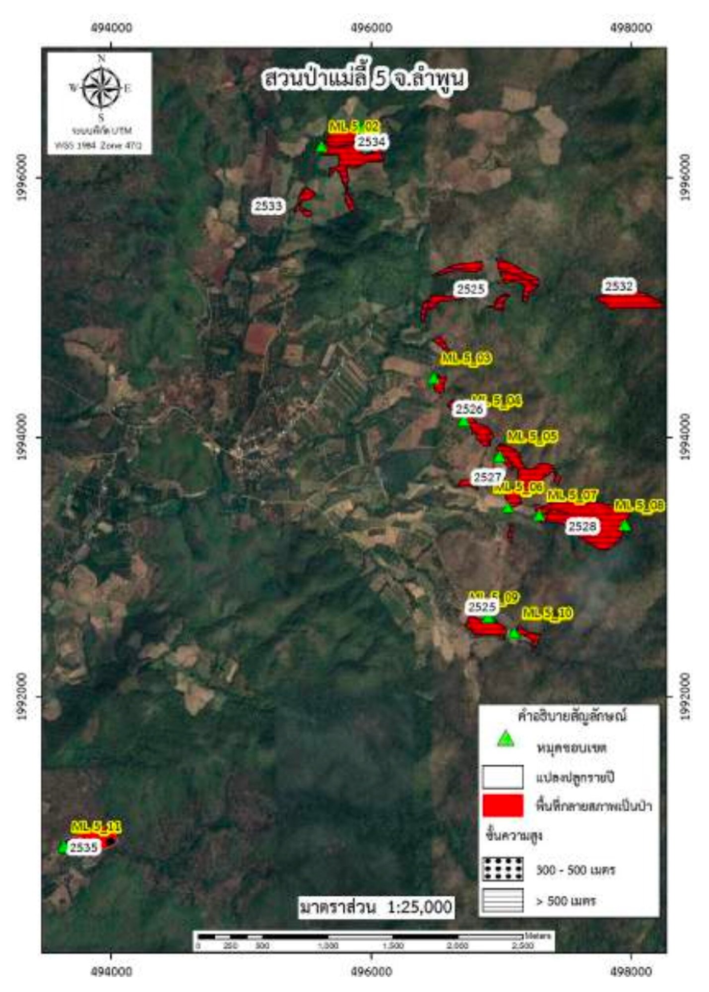
4. Mae Li 5 Forest Park, Mae Tuin Subdistrict, Li District, Lamphun Province :
Covering a total area of 403.67 rai, this park is characterized by mixed deciduous forest. The terrain is mountainous and Li River also flows through the area.
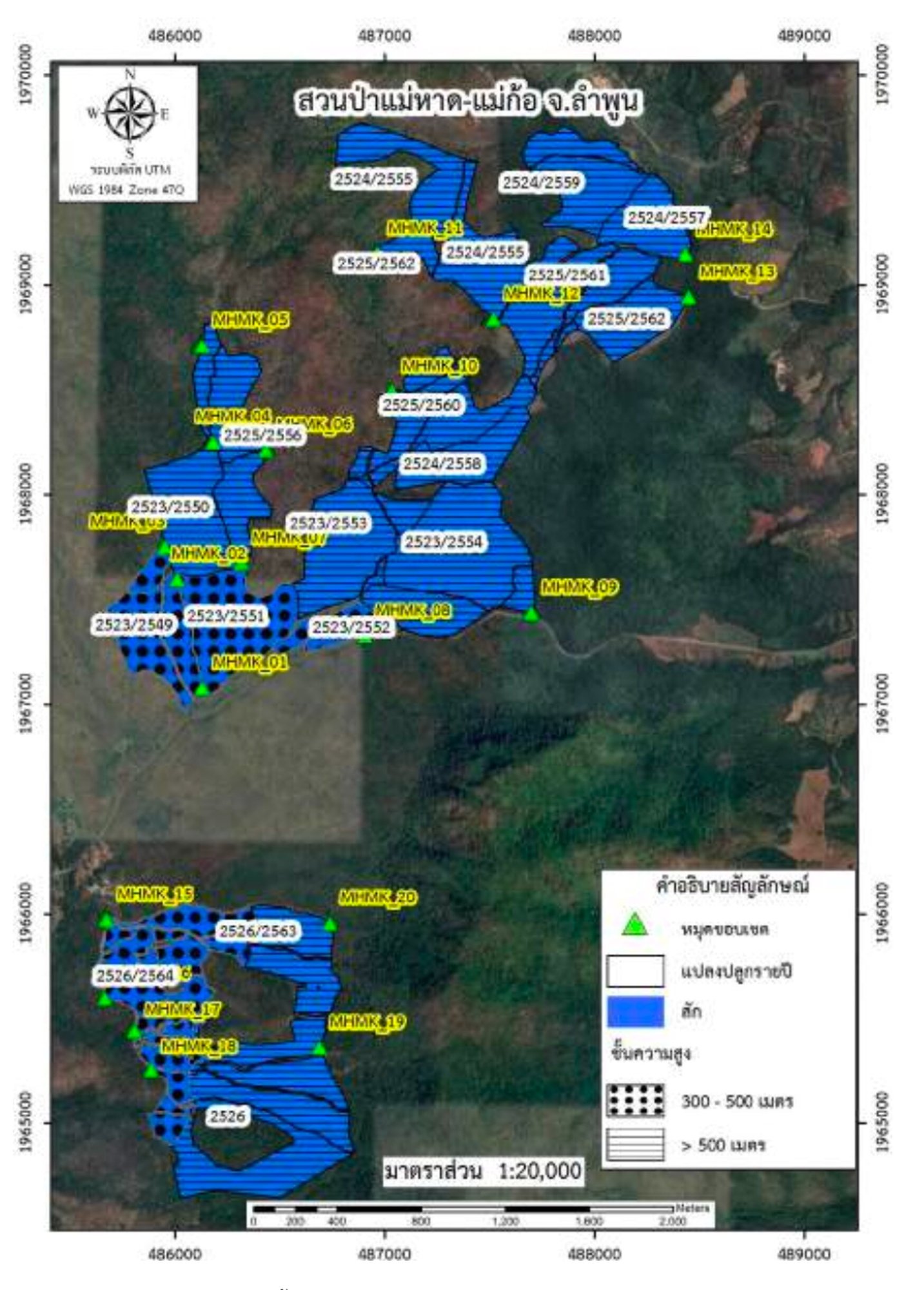
5. Mae Had-Mae Ko Forest Park, Mae Lan Subdistrict, Li District, Lamphun Province :
Located in the Mae Had-Mae Ko National Forest Reserve, covering a total area of 2,257.06 rai with an elevation of 475 meters above sea level. The vegetation is primarily teak plantations and the terrain is a mix of high mountains and plains. Li River flows through the area which provides a reliable water source throughout the year and also has been used for agricultural purposes.
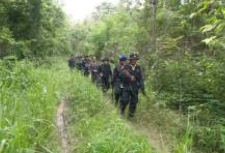
The project activities align with the eligible activities defined by the Thailand Greenhouse Gas Management Organization (Public Organization) in T-VER-S-METH-13-03. Proper management practices have been implemented, including creating wider firebreaks in steep areas, pruning to improve stem quality, thinning to reduce tree density, and patrolling to prevent and protect the forest from encroachment.
Remarks : No trees will be cut down within the project area for the entire 10-year duration of the project.
Explore More

Standard


Validation and
Verification Body
1,092,170 trees
Trees Approximately Planted in this Program
2,599,803
Carbon Sequestration (tCO2e)

Project Owner
04 Mar 2023 - 03 Mar 2033
Crediting Period
-
Vintage of Credits
